Quiel to hit Northern Luzon on Saturday
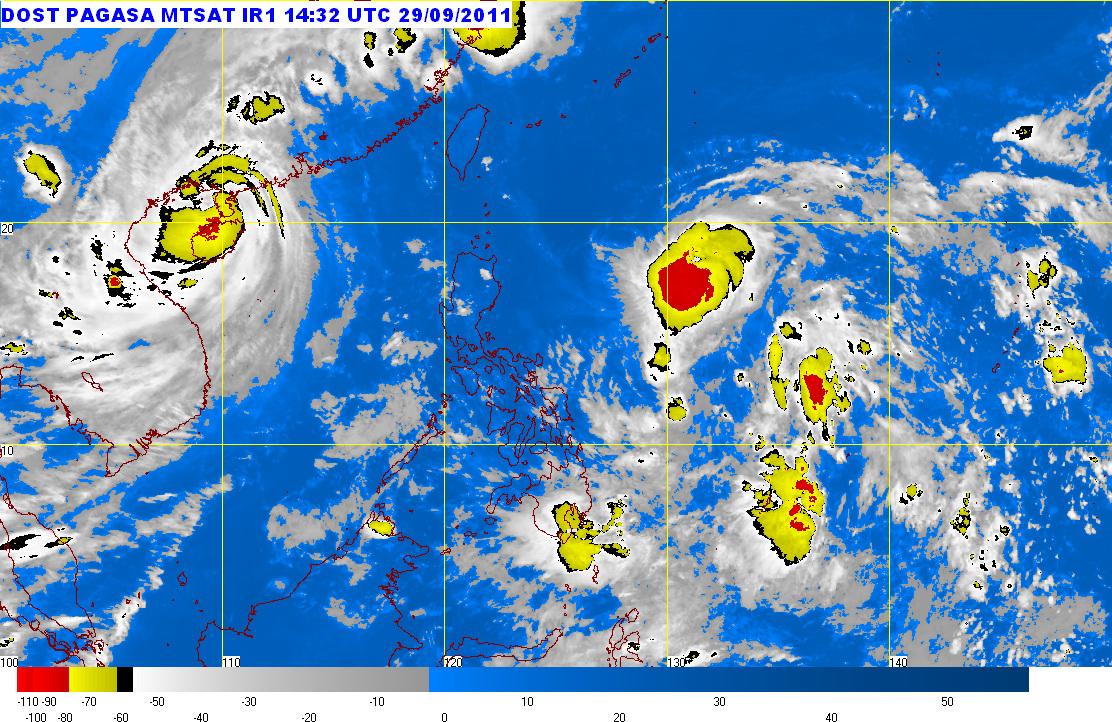
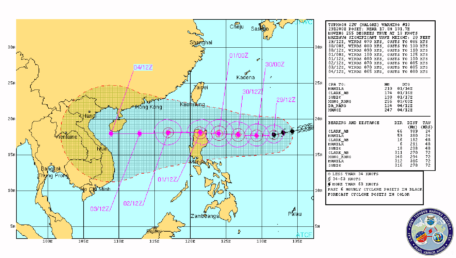
Tropical cyclone “Quiel" (Nalgae) is expected to hit Northern Luzon this Saturday, as forecast by both Philippine Atmospheric Geophysical and Astronomical Services Administration (PAGASA) and the Joint Typhoon Warning Center (JTWC) in Pearl Harbor, Hawaii. In PAGASA’s 11 pm bulletin issued on Thursday, Quiel’s center was spotted at 950 km east of Aparri, Cagayan 10 pm, moving eastward at 17 kph with maximum sustained winds at 110 kph near the center with gustiness of up to 140 kph. The storm’s diameter or span is 300 km. By Saturday evening it is expected to be 130 km from Aparri, Cagayan – which means the storm’s edges would then have hit land.
Since in PAGASA’s forecast, Quiel’s maximum sustained winds has not yet reached nor exceeded 118 kph, the cyclone is still considered just a tropical storm and not yet a typhoon. Highlights of PAGASA 10 p.m. data in 11 p.m. bulletin on "QUIEL" Location: 950 km East of Aparri, Cagayan Wind speed: 110 kph Gust: 140 kph Movement: 17 kph Direction: West Rainfall volume: 15-25 mm per hour Diameter: 300 km Forecast Position: - Sept. 30 (Friday evening) - 590 km East Southeast of Appari, Cagayan - Oct. 1 (Saturday evening) - 130 km East Southeast of Appari, Cagayan - Oct. 2 (Sunday evening) - 370 km East km of Appari, Cagayan